TSX: AYA.TO
Gold: US $
2,513.06
Silver: US $
28.62
Copper: US $
4.17

Tirzzit (Cu, Ag, Au)

About Tirzzit

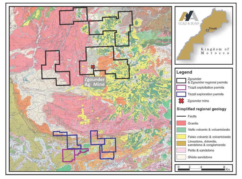
The Tirzzit historical copper mine is a collection of seven permits located in the anti-Atlas mountains, 25 kilometers SSW of Zgounder. The mine was operated between 2000 and 2012 on a semi-industrial basis.

Highlights

    • Q4-2023 fieldwork program:
      • Stream sediment and mapping program
      • High-resolution hyperspectral survey
    • Historical copper mine offering near-surface silver and copper mineralization potential
      • Historical drilling intercepts of up to 3.5% Cu
    • Seven permits: 5 exploration and 2 mining permits
    • Ownership: 100%

     Potential

    • Mineralization of historical deposit remains open in three directions
    • Previous exploration programs were not systematic and did not use modern methods


Location

The Tirzzit mine is located at an altitude of 1,525 meters in the Occidental range of the Anti-Atlas mountains, 80 kilometers south-southwest of Marrakech. The permits lie 25 kilometers south of our Zgounder property and 10 kilometers east of Taliouine.

Access

The Tirzzit properties are located some 225 km from Agadir and can be reached on two well-maintained paved highways, N10 and P1706, that run east for 205 km to Taliouine in the Taroudant province. Most of the remaining 12 km to the property are traveled on a paved road to the village of Tassousfi. The seven permits are located almost contiguously, within 25 km of Zgounder.

Surface area

The property consists of seven permits that cover 67.7 km².

Mineralization

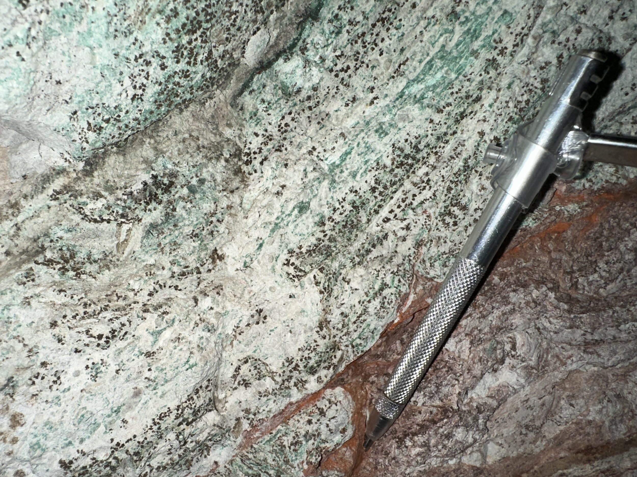
The Tirzzit deposit lies within the western segment of the Tazoult inlier. The geology of the properties is composed by Precambrian and Infra-Cambrian formations, so-called “Série de Base” overlain by dolomites and limestones. The copper mineralization is mainly hosted within calcareous siltstones and sandstones to sandy dolomites in the upper portion of the “Série de Base” Formation.

Exploration

A fieldwork program informed by historical drill data and geophysics is currently being prepared on the property. A first drill program is planned in 2024.


Qualified Person

The scientific and technical information contained on this page have been reviewed by David Lalonde, B. Sc, Head of Exploration, Qualified Person, for accuracy and compliance with National Instrument 43-101.

History

1971

Discovery of copper showings

1971-1977

Exploration by BRPM (now ONHYM)

2000-2012

Semi-industrial production by Ouiselsat Mines

2023

Acquisition and initial fieldwork by Aya